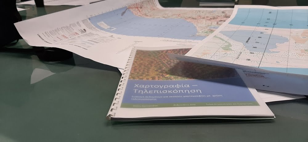
On the 12th of February 2020, a meeting which took place at the premises of the Cyprus University of Technology in Limassol was conducted between the Department of Lands & Surveys and the team members of the Excelsior Project. During the meeting a discussion was made on future collaboration but also on how remote sensing can be used for the national benefit. Indicatively, some of the future actions discussed includes the organization of workshops and training activities; collaboration in writing common proposals, etc. The Department of Lands and Surveys is one of the key public organizations that provided a letter of commitment for the Excelsior Project.